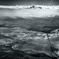
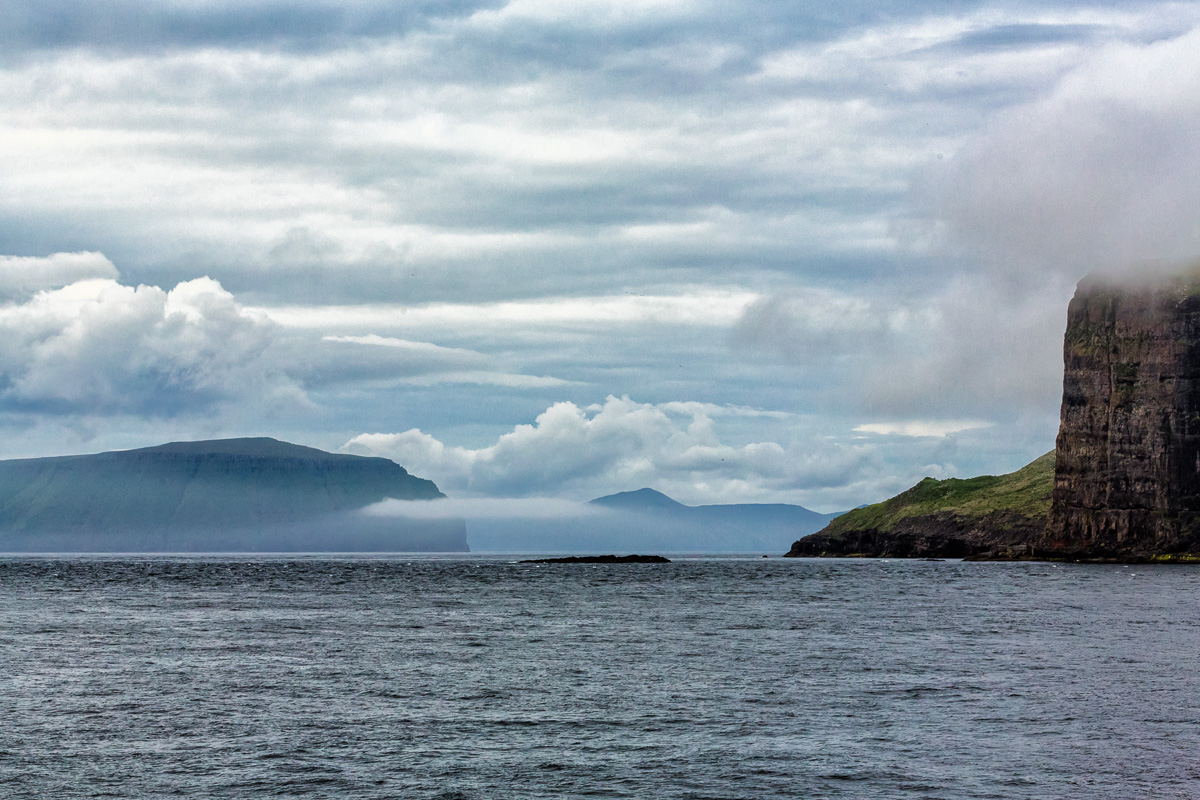
On Monday, we hopped on a ferry for a 2 hour ride to Suðuroy, the southern-most island of the Faroe Islands. I got a little queasy and found a spot on the ferry for a nap. But not before grabbing a few shots:
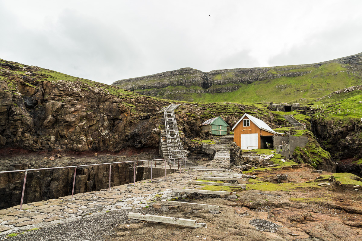
Once on Suðuroy, we were met by a tour guide, Mortan Holm, who navigated us through every village on the island and did so in about 6 hours, including lunch. The weather was mostly cloudy with some rain, not as bad as Saturday on Vagar, though. Our first stop was near Froðba, where we saw one of the most insane boat ramp setups I’d ever seen.
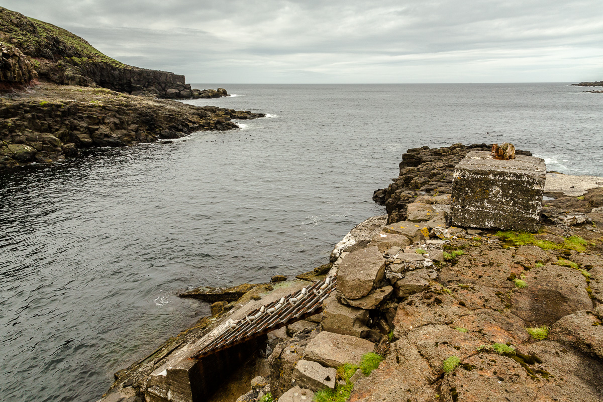
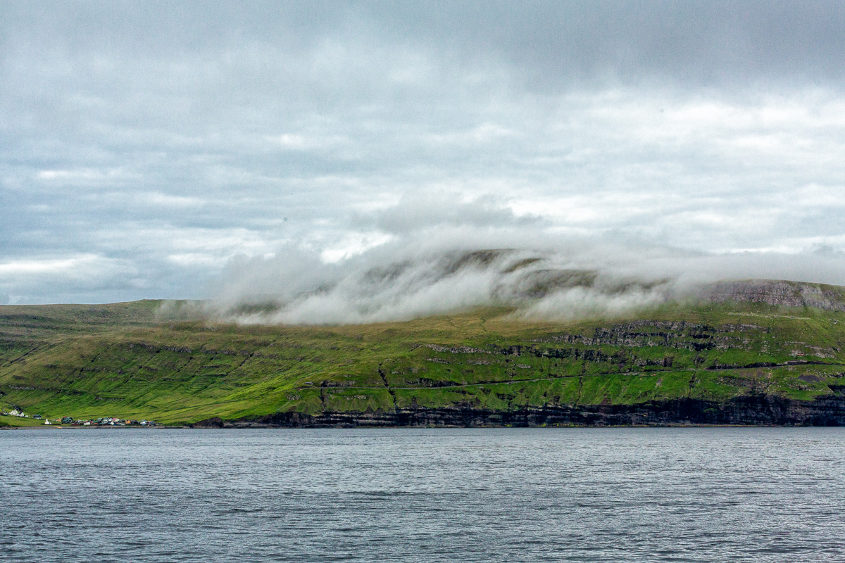
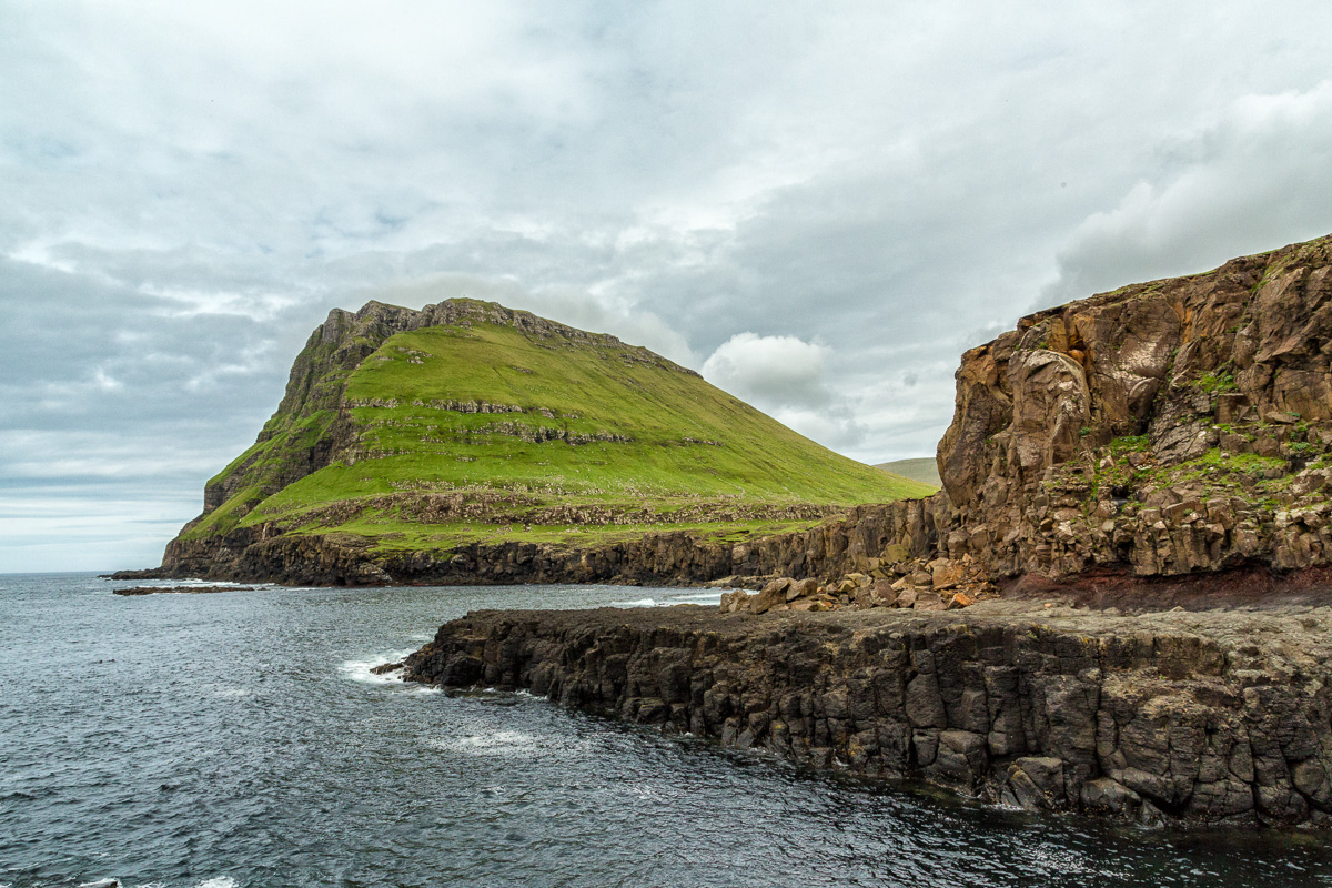
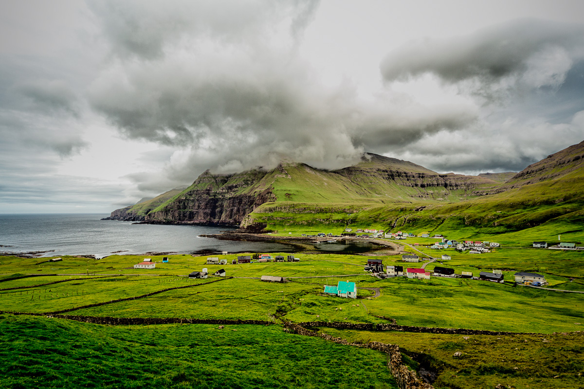
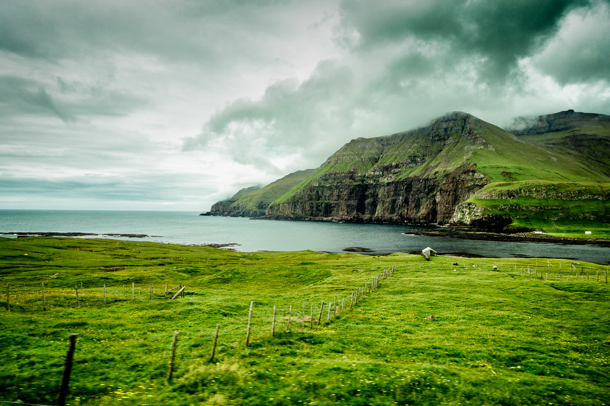
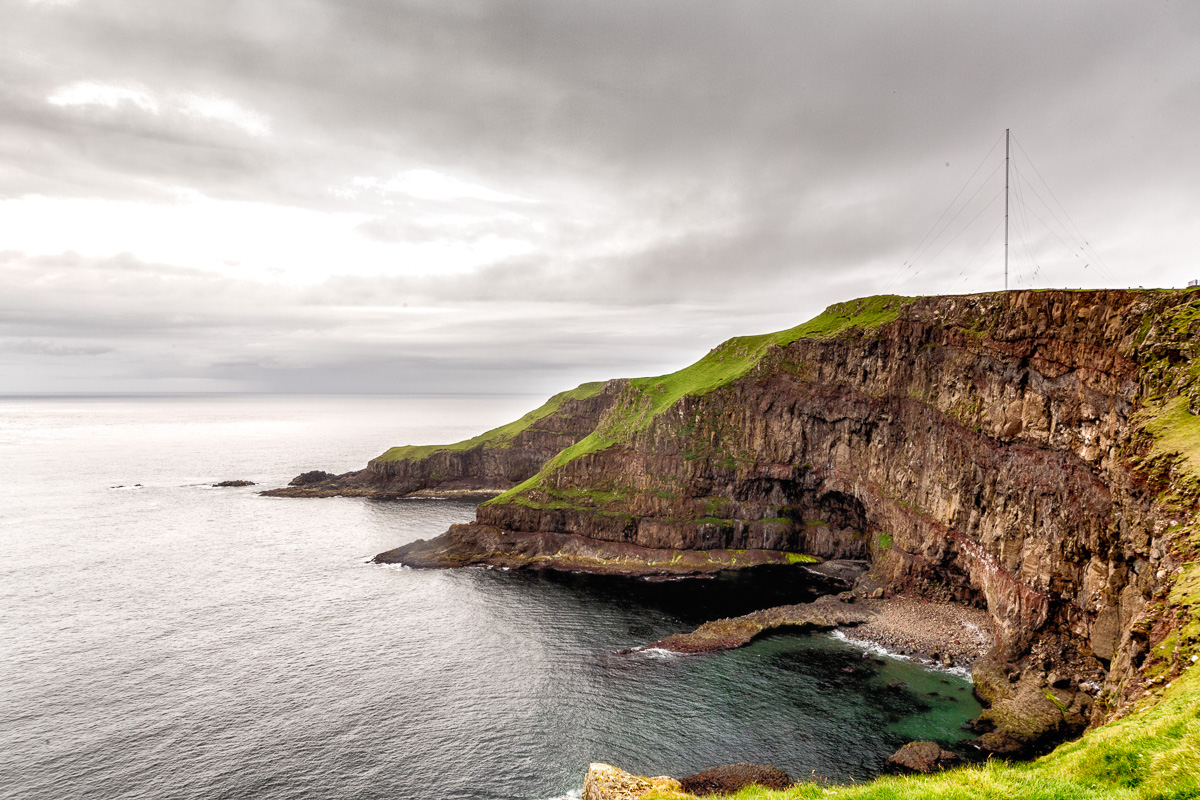
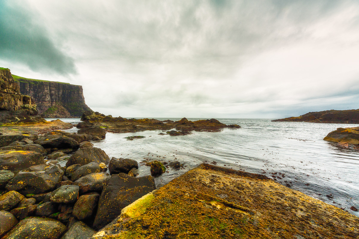
The surrounding coastline is beautiful, with a nice cove:
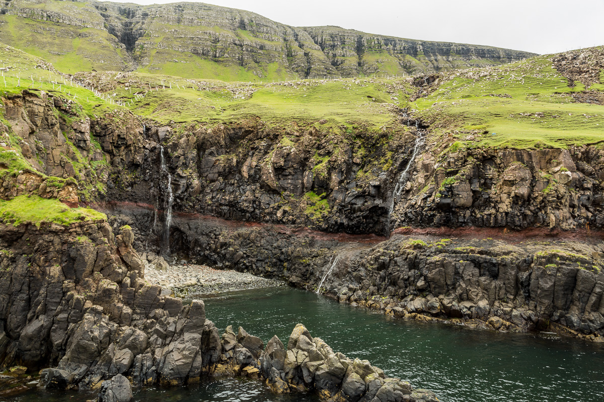
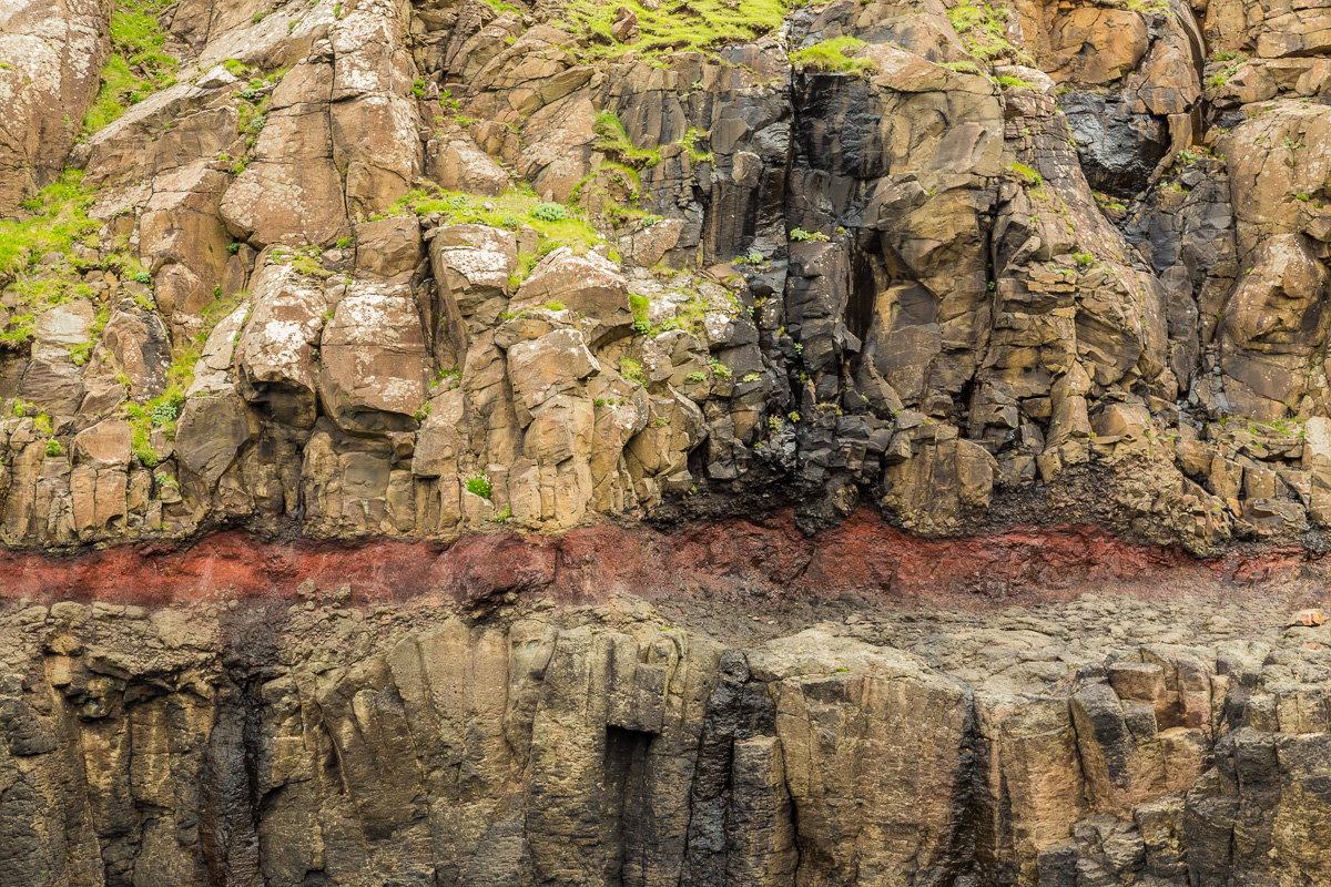
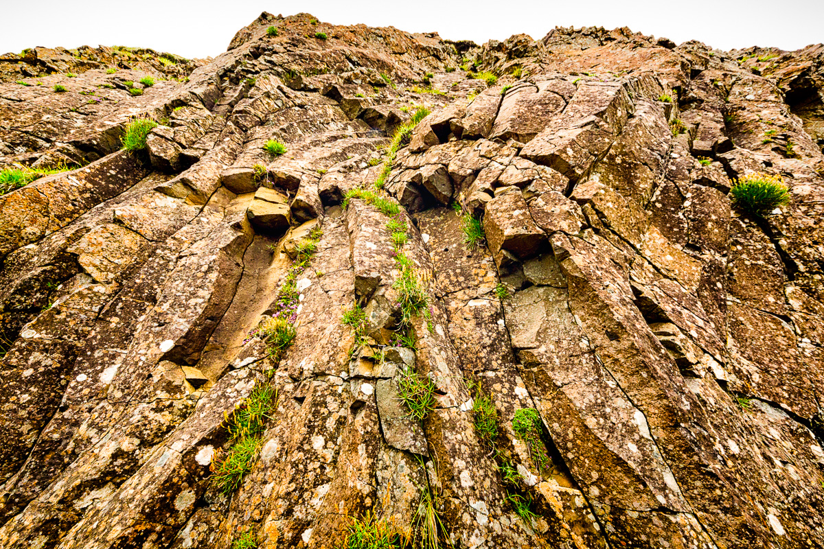
If you look closely, you should see a red band in the rocks. This is a clay layer:
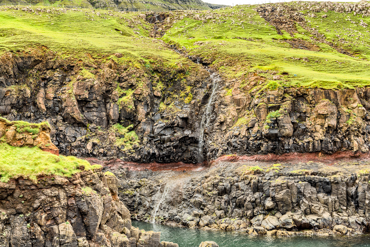
The clay layer erodes more quickly than the stone and contributes to the unique formation of the cliffs:
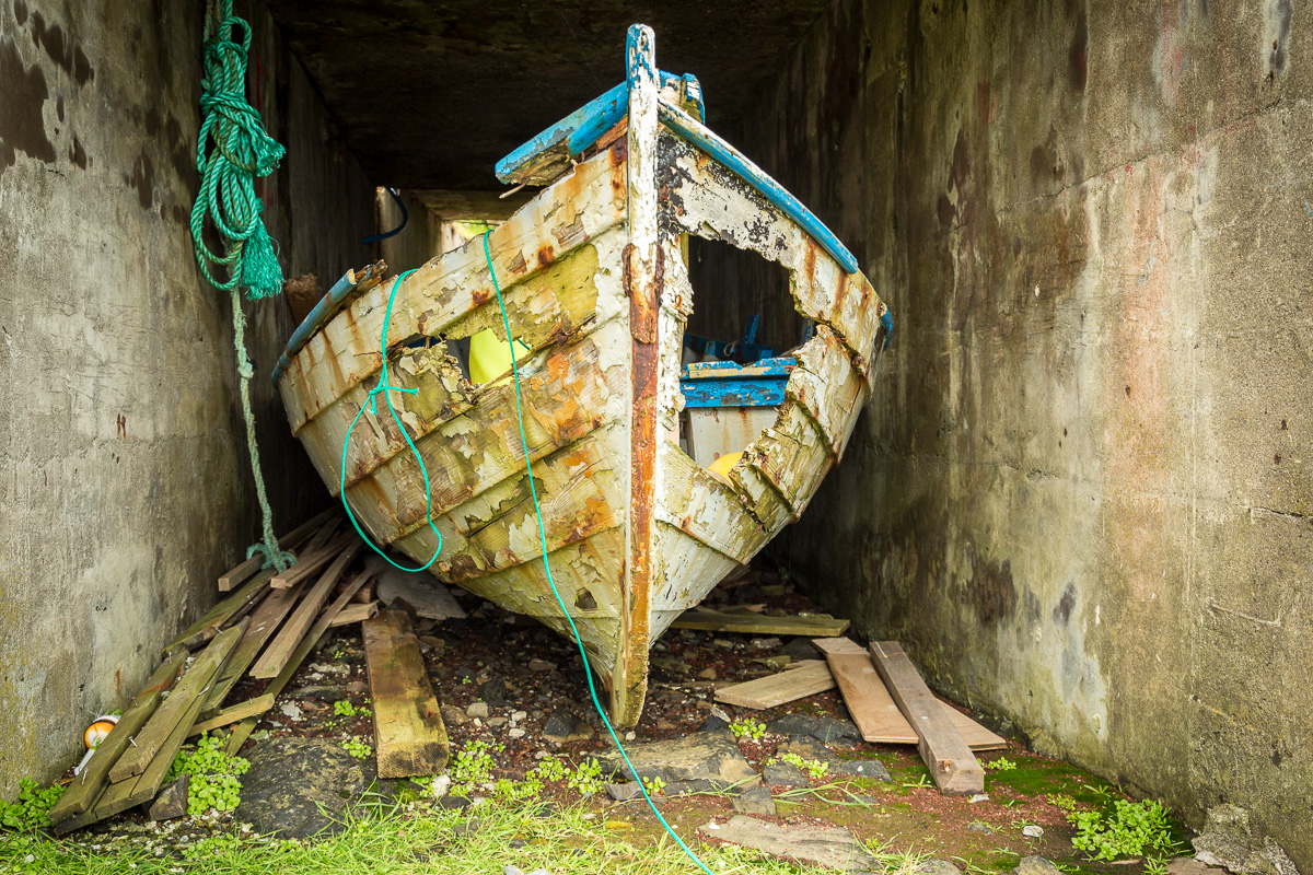
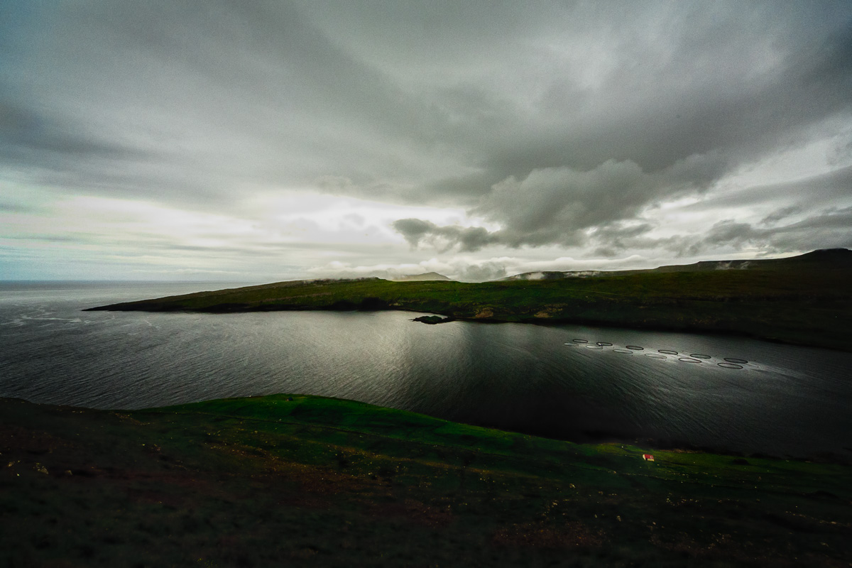
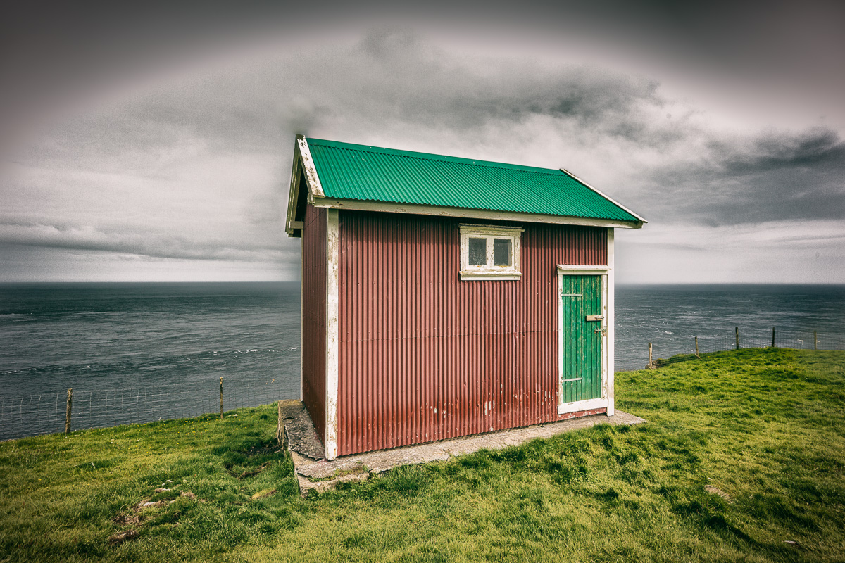
Mr. Holm shared stories of waves crashing above where we were standing, including up to this boathouse:
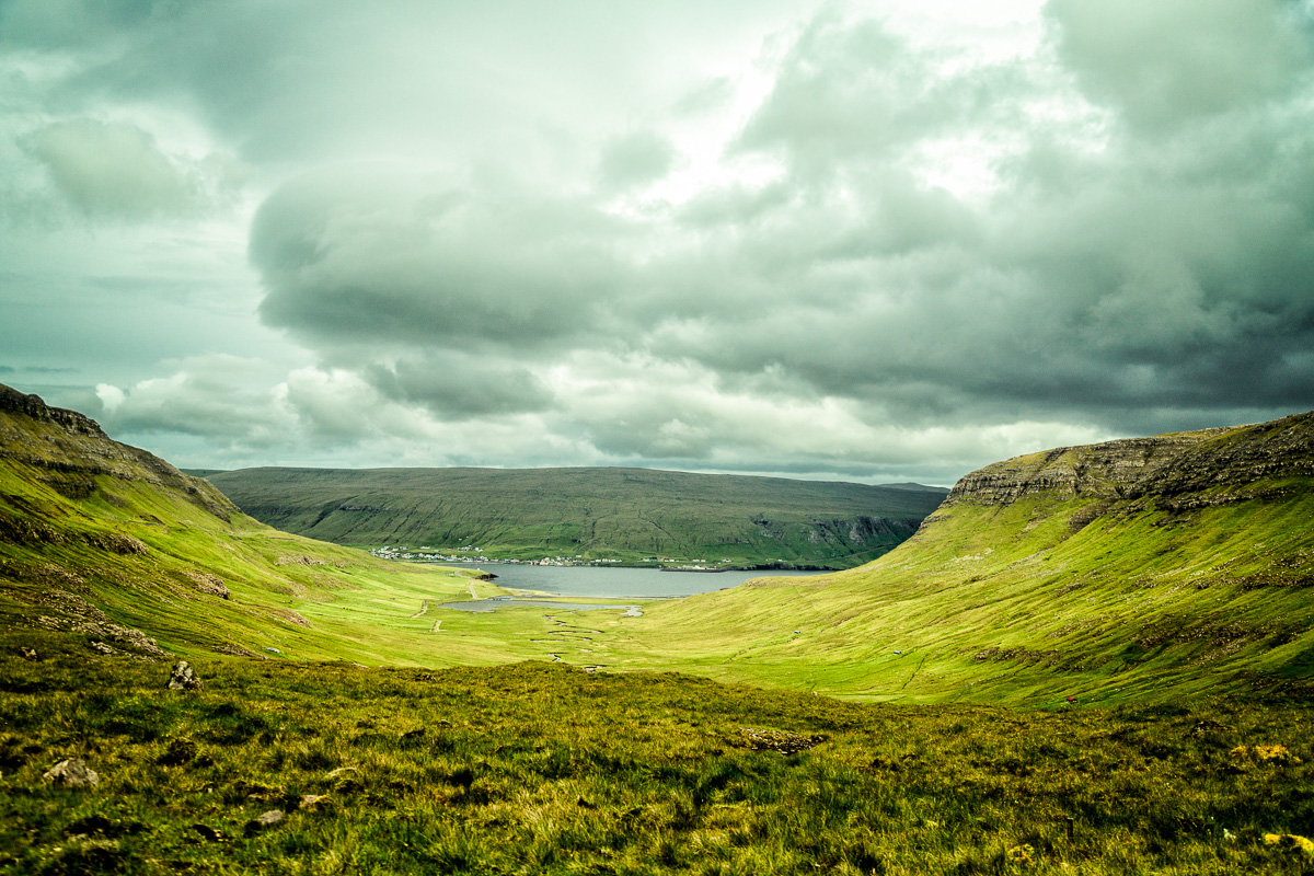
After I took a million shots, we drove on the high road and from the way back, I was able to grab some nice landscape shots:
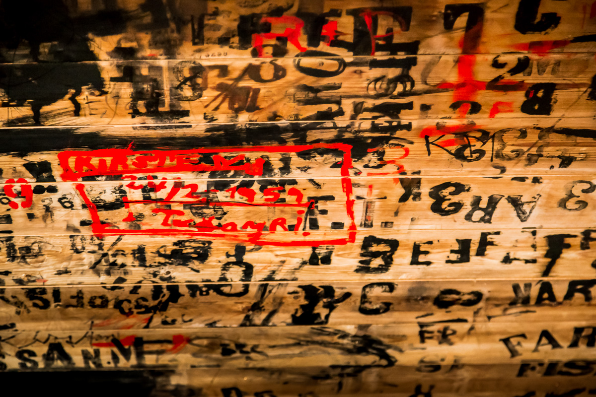
At our lunch stop, we visited a local design studio that was in a former fish packaging and shipping loft. The walls were covered in inked letters, words and abstract shapes:
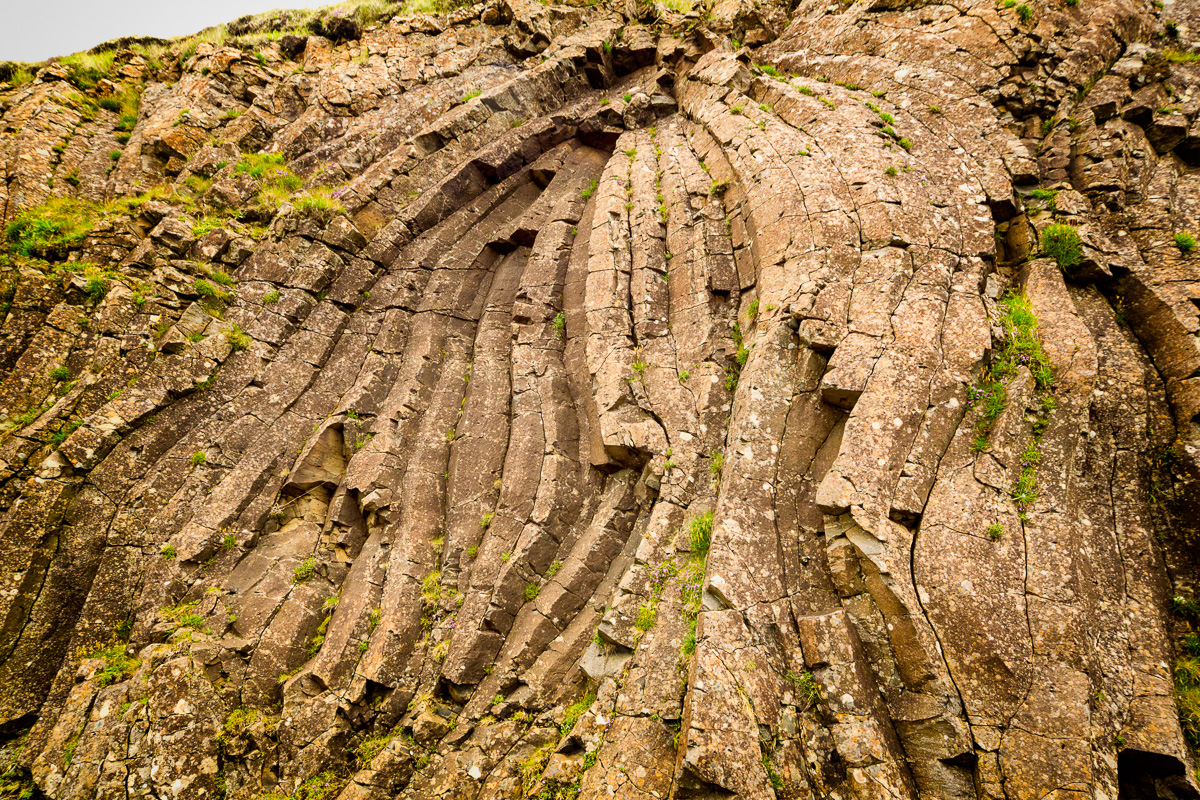
After lunch we drove along some high roads and pulled over to look at the evidence of volcanic compression:
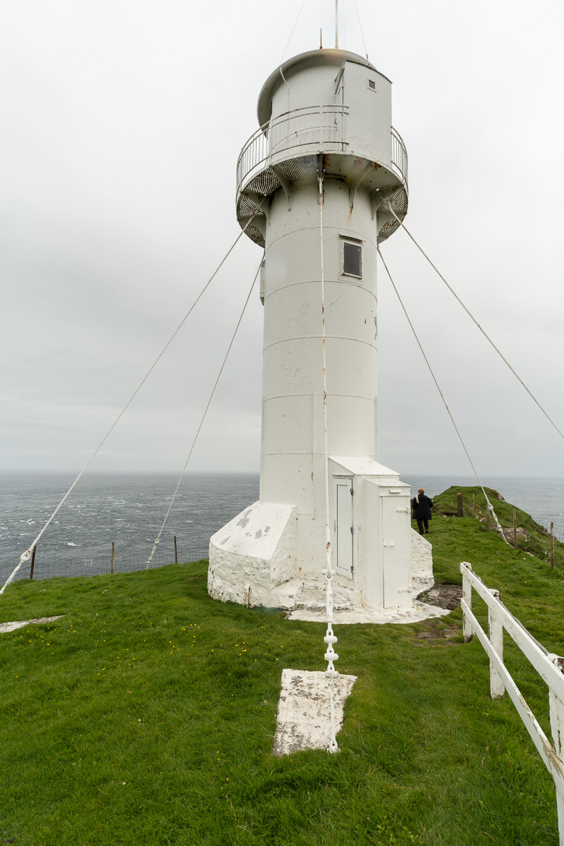
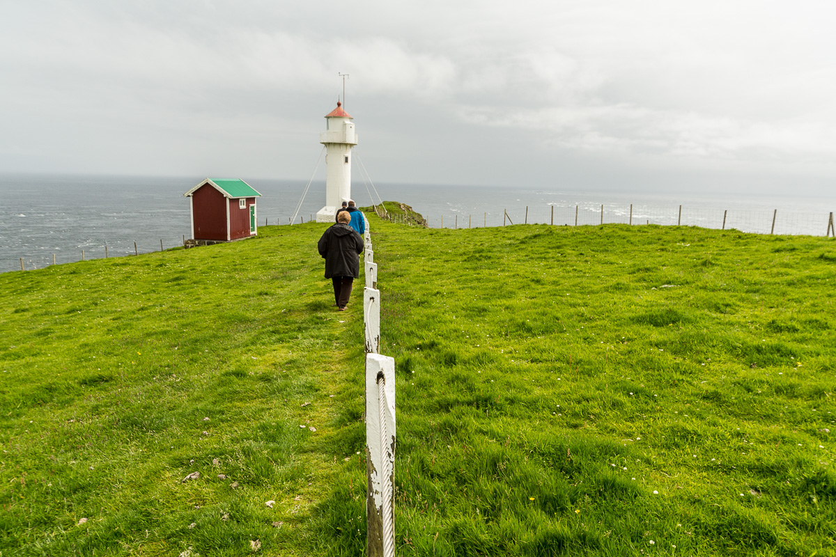
And then on to the lighthouse at Akraberg:
We stopped at several churches, this one featuring a statue, Christus:
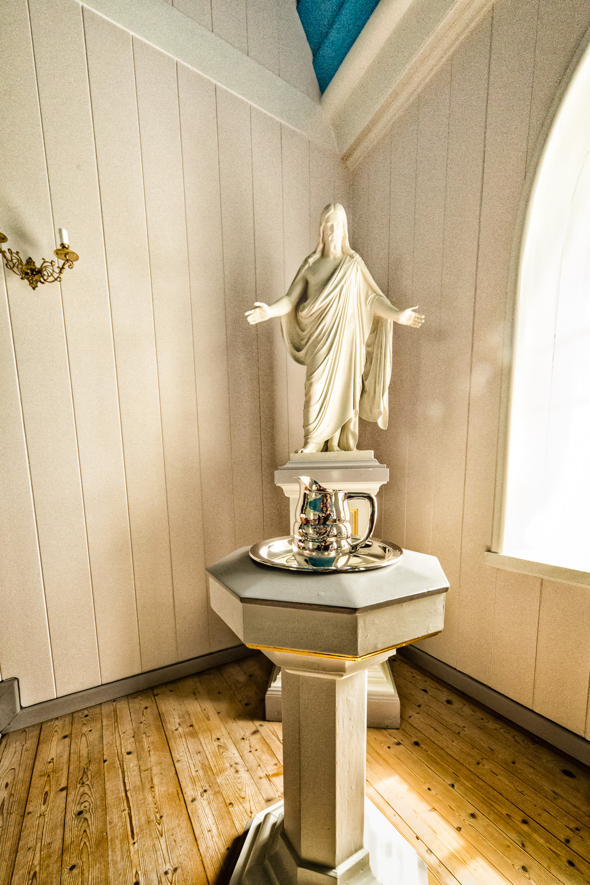
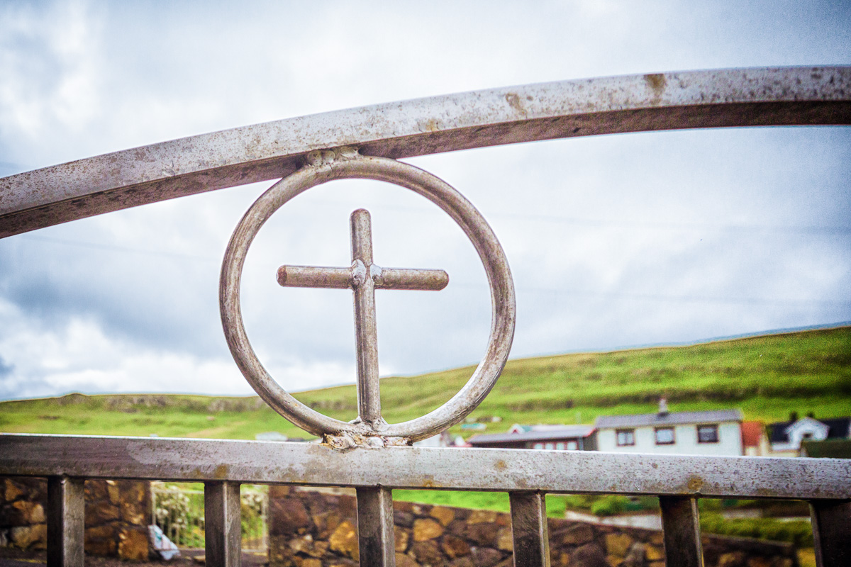
Mormons are familiar with a replica of Christus at the visitor center in Salt Lake City.
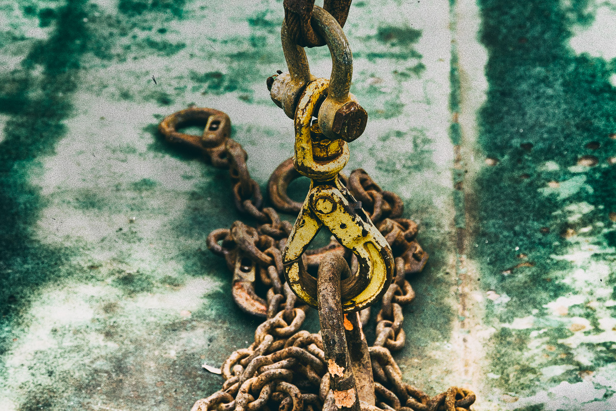
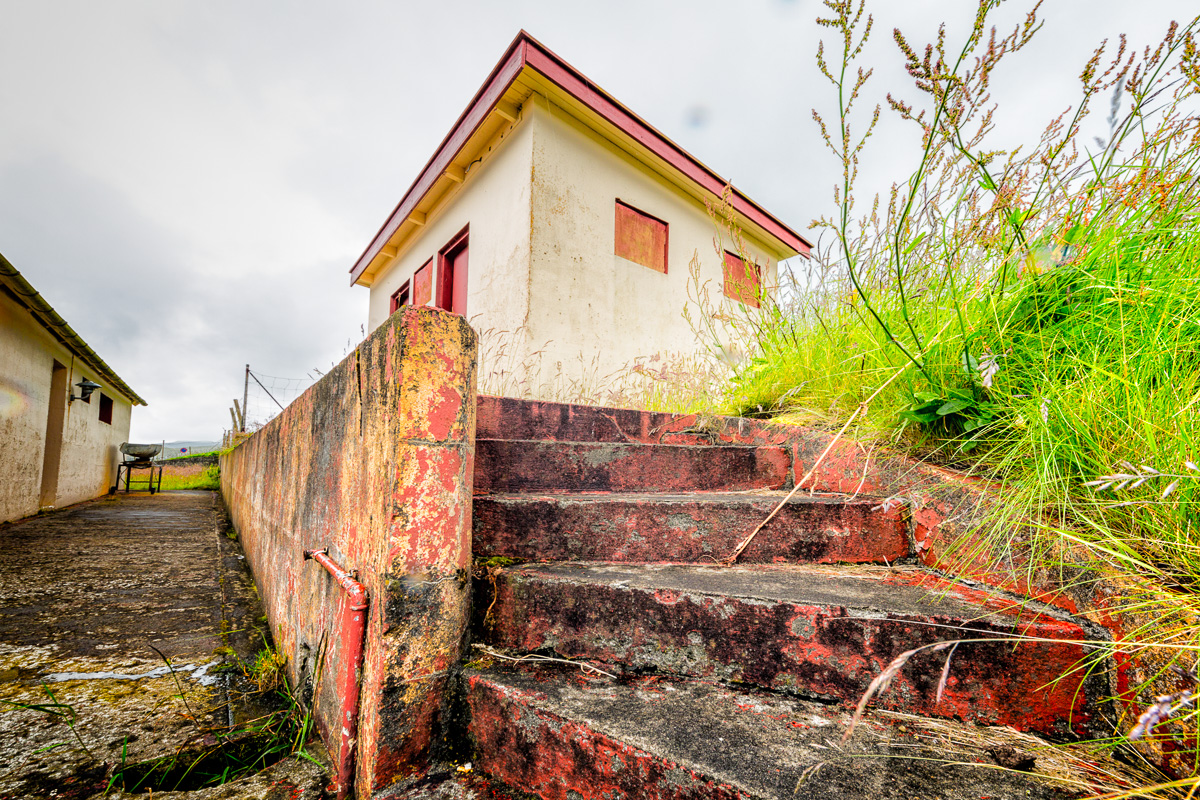
A couple of random shots, one a slippery boat launch and the second, red steps from a school next to the World War II museum on Suðuroy:
There are still more photos to come from this trip.